
The Downtown Sanford Brewery That Never Actually Closed
read article
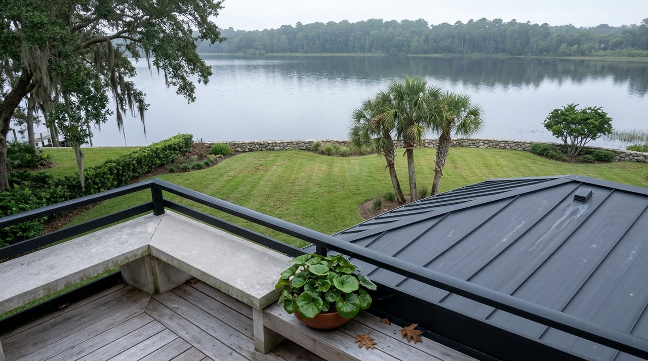
Have you ever wondered why the Sanford RiverWalk always sends you back the way you came? Head west from Mellonville Avenue and the pavement carries you smoothly past Fort Mellon Park, the Sanford Museum, and Marina Island before dropping you at Lake Monroe Wayside Park, where the trail connects cleanly to the Cross Seminole Trail. Head east instead, and the dedicated path runs out along Celery Avenue, leaving you to share the road shoulder with truck traffic for a stretch that has nothing to do with the lake at all. Most people who live here just turn around at that point. Few know why the gap exists, or that Seminole County is in the middle of closing it right now.
The loop already exists on paper. Twenty-four of its planned twenty-six miles around Lake Monroe are paved, marked, and separated from traffic. The other two miles, the ones on Celery Avenue, are the reason a Saturday morning ride around the lake still means merging with cars instead of staying on dedicated trail the whole way.
People talk about "the RiverWalk" like it's a single thing, built at once. It isn't. What residents walk today was originally conceived in 1995 as a simple sidewalk along the lake, then stitched together across two separate construction phases finished fourteen years apart. Phase I, completed in 2004, covered 1.2 miles between Mellonville Avenue and French Avenue. Phase II didn't arrive until 2018, when the city extended the path to Mangoustine Avenue. The project picked up national recognition along the way, including an International Making Cities Livable award in 2009, but neither phase changed the trail's basic shape. It was, and mostly still is, an out-and-back spur along the southern shore of Lake Monroe.
That's what makes the current construction different from the two that came before it. Seminole County isn't extending a dead end further down the shoreline. It's building the connective tissue that turns the RiverWalk into one segment of a full loop around the lake.
The unfinished piece runs along Mellonville Avenue from East Seminole Boulevard to Celery Avenue, then continues along Celery Avenue to just east of Sipes Avenue. The county calls it the Celery Avenue/Mellonville Avenue Trail, and it's the first phase of what's officially named the Lake Monroe Trail Loop project. Funding comes through a combination of Seminole County's third-generation Penny Sales Tax and a Local Agency Program agreement with the Florida Department of Transportation.
Construction broke ground in spring 2025, and crews spent much of that year relocating utility lines along the east end of Celery Avenue before moving west, work that has to happen before the wider multi-use path can go in. The county's most recent public timeline targeted spring 2026 for completion, a date that has already come and gone as of this summer. Road projects on shared corridors like this one rarely land exactly on schedule, so the segment may be finished by the time you read this or still in its final stretch. Either way, the two-mile gap that has forced cyclists onto Celery Avenue's shoulder for years is finally being engineered out rather than just talked about.
A second phase, still in design with no construction date set, will carry the trail further along Celery Avenue from just past Sipes Avenue to Chickasaw Drive.
Two miles sounds minor until you look at what they connect. At its western end, the RiverWalk already meets the Cross Seminole Trail near Monroe Road and West Seminole Boulevard, a route that runs nearly 23 miles south through Seminole County. Cross the bridge over the St. Johns River at US 17-92 and you pick up the Spring to Spring Trail, headed 25 miles north. Both of those eventually tie into the Florida Coast-to-Coast Trail, a 210-mile connected route running from St. Petersburg to the Space Coast.
Right now, riding the full loop around Lake Monroe means covering roughly two of those twenty-six miles on Celery Avenue itself, sharing the lane with cars. Once the Lake Monroe Trail Loop's remaining segments are finished, that becomes dedicated path. In practice, that means starting a Saturday ride at Marina Island, circling the entire lake, and never leaving a trail surface to do it.
Even before the loop closes, the existing RiverWalk carries you past more than open water. Marina Island holds 236 boat slips, including free day slips available from sunup to sundown, and it's home port to the St. Johns Rivership Barbara-Lee, a sternwheeler that runs lunch and dinner cruises out onto the lake. A short walk from there, Veterans Memorial Park sits on a jetty extending into Lake Monroe, with a memorial brick pathway and benches that make it a destination in its own right rather than a spot you pass on the way to somewhere else. Historical markers along the route trace the city's founding history, and Carola Park and the old Hotel Forrest Lake sit just off the path near downtown.
If your usual route is a straight there-and-back to get a workout in before the heat sets in, stopping at these spots instead of treating them as scenery changes the walk from exercise into something closer to a tour of the city's own history.
In early 2025, the Florida Department of Environmental Protection's Office of Greenways and Trails named Sanford a Florida Trail Town, a designation reserved for communities whose trail systems connect directly to their downtown business districts. Sanford Mayor Art Woodruff and city officials marked the announcement with a new Trail Town sign now installed along the RiverWalk downtown, one of twenty such designations across the state at the time.
The designation isn't just a sign. It came with a passport program: downtown storefronts that display the Trail Town window decal are part of a stamp-collecting circuit for trail users. It's a small program, but it formalizes something that was already true informally. The RiverWalk isn't just a recreational amenity that happens to run past downtown. It's treated now as an economic corridor with its own funding stream, construction schedule, and state recognition attached to it.
None of this changes what the RiverWalk feels like on a Tuesday evening. It's still 4.5 miles of shoreline, shaded in some stretches and fully exposed to the sun in others, the kind of place where you're more likely to spot an osprey than another jogger once you're west of downtown. What changes is what becomes possible once the Celery Avenue gap closes. A trail that has functioned for over twenty years as a path you walk out on and walk back on is becoming one piece of a much larger connected network, one that eventually reaches toward DeBary to the north and nearly two dozen miles south through the county without a single break in pavement.
That's worth knowing the next time you're on Celery Avenue wondering why you're sharing the road with a pickup truck. You're not stuck there because someone forgot about it. You're standing in the last unfinished piece of a twenty-six-mile loop that's finally getting built.
If you keep a close eye on what's changing around Sanford, The Mel Bernstein Team tracks the corridor the same way they track the market around it. Let's Connect if you want to talk about the lake, the loop, or anything else happening in this part of Seminole County.